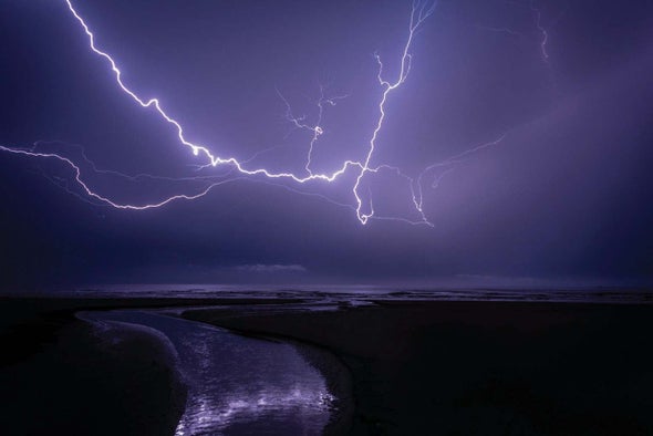
Although most rain on Earth falls over the oceans, lightning at sea is surprisingly rare—and for decades scientists weren’t sure why. A recent study suggests salt spray could be getting in the way of clouds charging up for a lightning strike.
Thick clouds that form overhead during storms can become electrified when upward-moving air helps them grow tall enough that the upper parts of the cloud freeze into a mixture of granular, rounded snow pellets called graupel and microscopic ice crystals. As these ice and snow particles bump into one another, they transfer electrical charges: the larger graupel grains tend to become negatively charged, and the smaller ice crystals end up with a positive charge.
These charged ice crystals are so light that updrafts of air bring them to the top of the cloud, whereas heavier graupel tend to sink. Over time this separation generates an electrical field between the cloud’s positively charged top and negatively charged bottom. When the charge difference either between the top and bottom of the cloud or between the cloud and the ground grows big enough, lightning strikes.
But if large, water-absorbent particles of sea salt—abundant in ocean spray—are present, the tiny droplets that typically condense on microscopic dust and soot to form clouds grow much more rapidly, becoming heavy enough to fall as rain well before the cloud can grow tall enough to charge up. Although this mechanism for dampening lightning at sea has been suggested before, evidence for it had not yet been found in global weather observations.
To do that, researchers from China, Israel and the U.S. gathered global measurements of clouds and lightning strikes, plus the expected distributions of particles such as pollutants, dust and salt in the atmosphere. They used these records to examine how cloud systems with different combinations of the particles evolved over time—documenting when and if rainfall and lightning occurred. The team found that areas with salt spray see up to 90 percent less lightning.
“We were able to separate the effects of the small particles and the large [sea-spray] particles,” says atmospheric scientist Daniel Rosenfeld of the Hebrew University of Jerusalem, who co-authored the study in Nature Communications. These effects are often ignored when climate scientists try to predict when and where rain will fall, he adds. “If you don’t take [them] into account in weather prediction models—and even more so in climate prediction models—you don’t get the picture right, you don’t get the precipitation right,” Rosenfeld says.
But the fine particles, called aerosols, are not the only factor acting on clouds’ complex interior. Other atmospheric differences over land and the oceans caused by local weather conditions, such as wind and temperature, might also play a role in how often lightning occurs. “It is very challenging to single out the aerosol effect from [these other weather conditions] based on observational analysis only,” says Jiwen Fan, an Earth scientist studying interactions among aerosols, clouds, precipitation and climate at Pacific Northwest National Laboratory.
Fan, who was not part of the new study, suggests detailed computer modeling of the processes within thick storm clouds would help further clarify the importance of sea-salt spray in determining when and where lightning strikes might occur.

